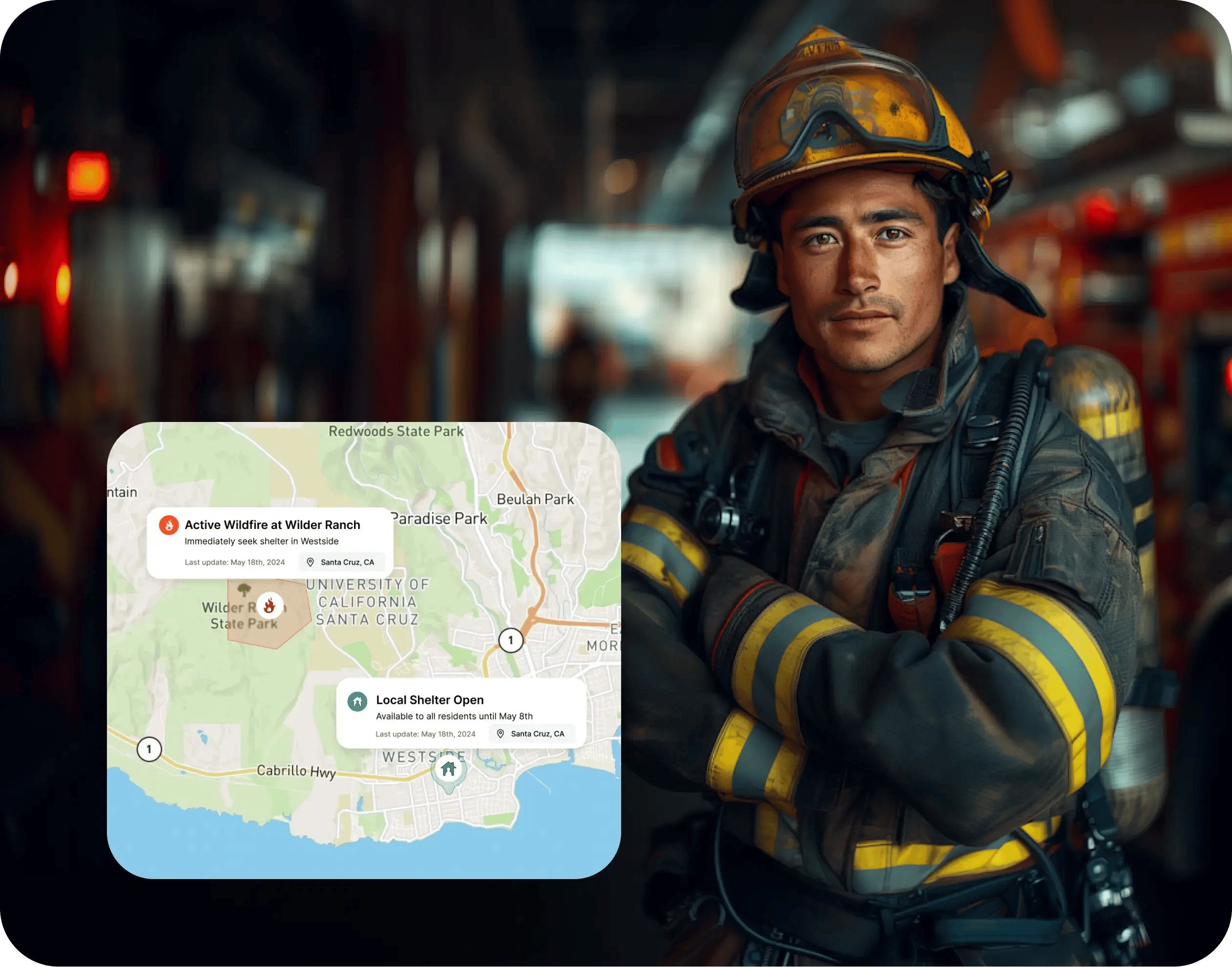
We build mission-critical public safety platforms with real-time mapping, AI-based evacuation planning, and multi-agency interoperability. Our work powers emergency response across 10+ states with Esri/KML/GeoJSON integration, FEMA reimbursement automation, and all-hazard coverage from wildfires to active threats. We integrate Gen AI for emergency communications drafting and automated incident reporting.
We've shipped products in this space. Tell us what you're building and we'll tell you how we can help.
Contact us